


Flights over Warsaw
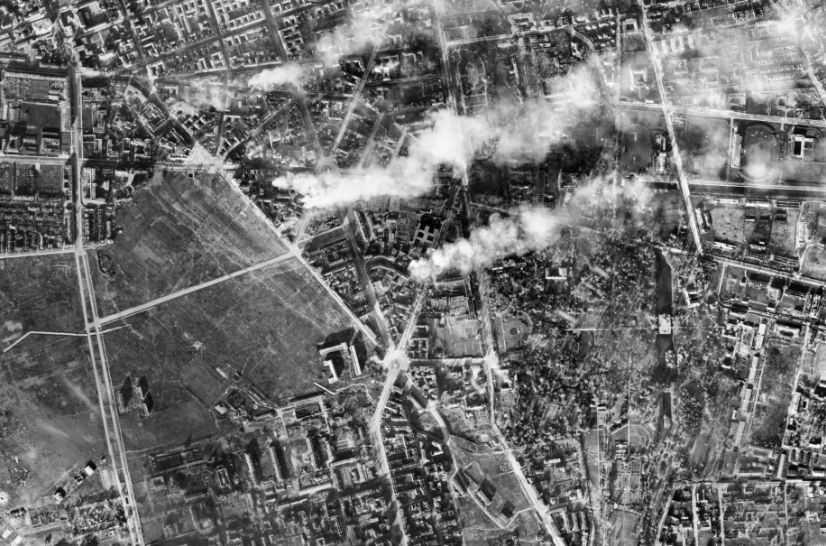
During the Second World War, the Germans took aerial photographs of areas through which the front was passing.
Such photographs allowed them, among other things, to draw detailed maps and plan military operations. The German intelligence was responsible for those actions.
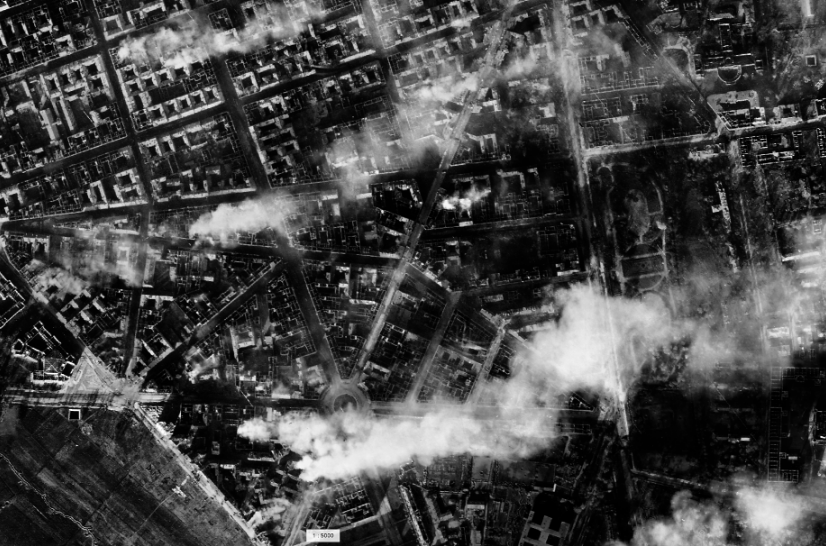
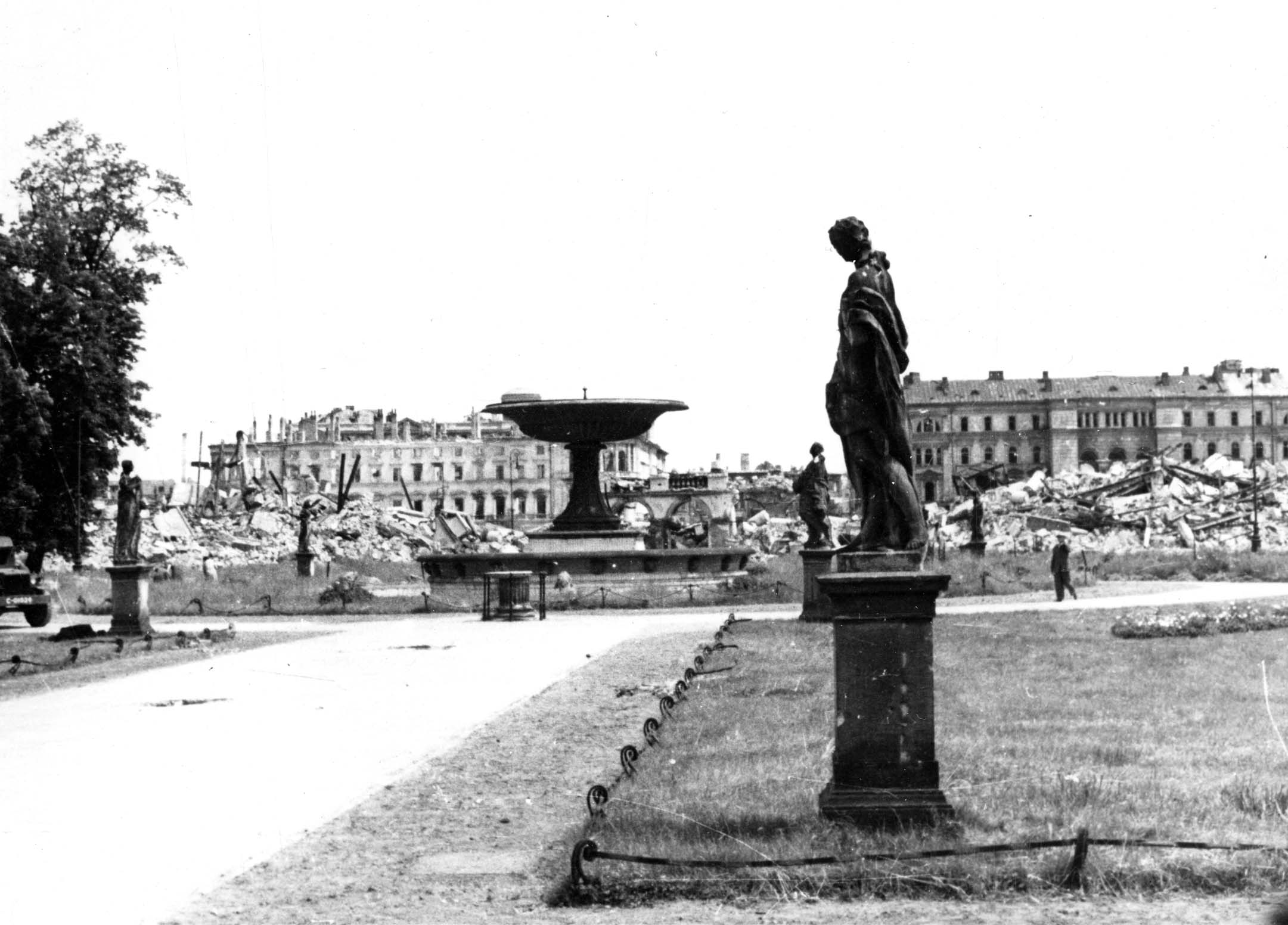
Cities were photographed by the Germans during hundreds of flights. Warsaw was documented in this way many times. The photos show the Polish capital before the Uprising, during the fighting, and the completely destroyed city after the fights ended. The frames from successive flights show how the city had changed.
After crossing the boundaries of the area of interest, the aircraft would turn back to the adjacent flight line and the action was repeated. Although created for military purposes, those photographs today are a unique historical and educational resource. They comprehensively show the Polish capital before the Uprising and the process of its destruction.


